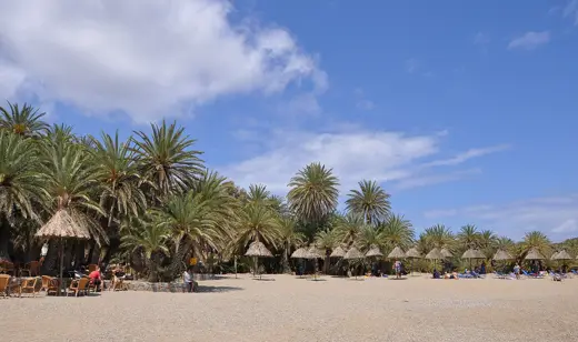
No licensed photograph yet for Psili Ammos
Overview
An unorganized beach on Patmos' south coast with one small family tavern, reached on foot or by boat according to two sources (a third describes a paved road, so check locally). The coast is exposed to strong winds and waves can be large. The far south end is used by naturists.
Facilities and access
| Access notes | Two sources say no road reaches the beach (about 30 min walk from Diakofti, demanding final descent; morning water taxis from Skala). One travel site describes a walk down a paved road, so the route is disputed. Boat access depends on sea state. |
|---|---|
| Getting there | Walk from Diakofti or water taxi from Skala. |
| Food and drink | Yes |
Not yet documented: Public access, Entry fee, Parking, Toilets, Showers, Changing rooms, Sunbeds and umbrellas, Lifeguard, Dogs, Accessibility. A detail listed here is unknown, not absent.
Activities and planning
Surface: Sand
Type: Coastal
Activities mentioned: Swimming
Seasonal context for Greece is organised by coast. See the Greece season notes and pick the region closest to this beach; one town’s table is not a forecast for another.
Map
Coordinates 35.2515, 26.2672, taken from the cited source.
Nearby beaches
Sources and updates
Last compiled 2026-11-14. Found an error? Suggest a correction.
- Patmos Psili Ammos - Greeka (directory)
- Psili Ammos - Greek City Times (reference)
Fact-level evidence
Sources we could not reach
- patmos.gr page returned nothing about the beach
- No official source or Wikidata item for the Patmos beach; coordinates null