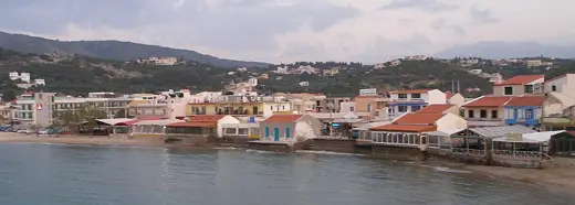
No licensed photograph yet for Seitan Limania
Overview
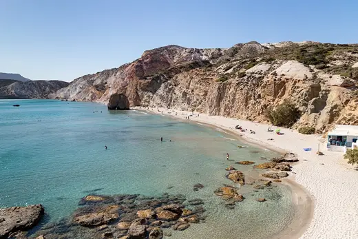
A narrow inlet between steep rocky cliffs on the Akrotiri peninsula, with a gravel-and-sand shore and deep blue water. The only way down is a steep footpath. The official Chania tourism page warns about currents and the steep path.
Facilities and access
| Access notes | Reached by a steep footpath from near the chapel of Saint Raphael, after the village of Hordaki. Road via the airport direction. |
|---|---|
| Getting there | By car to near the chapel of Saint Raphael, then walk down the steep path. |
| Lifeguard | Not documented. |
Not yet documented: Public access, Entry fee, Parking, Toilets, Showers, Changing rooms, Food and drink, Sunbeds and umbrellas, Dogs, Accessibility. A detail listed here is unknown, not absent.
Activities and planning
Surface: Sand and pebbles or rock
Type: Coastal
Activities mentioned: Swimming
Seasonal context for Greece is organised by coast. See the Greece season notes and pick the region closest to this beach; one town’s table is not a forecast for another.
Map
Coordinates 35.5519, 24.1935, taken from Wikidata.
Nearby beaches
Balos Beach
Elafonissi Beach
Sources and updates
Last compiled 2026-11-14. Found an error? Suggest a correction.
- Seitan Limani Beach - Visit Chania (official)
- Wikidata Q31284434 (reference)
Fact-level evidence
- surface: Mix of gravel and sand source (2026-11-14)
- access: Via Hordaki village and Saint Raphael chapel, then steep footpath source (2026-11-14)
- distance: About 20 km from Chania city source (2026-11-14)
- hazard: Strong currents and steep path noted source (2026-11-14)
- coordinates: 35.5519, 24.1935 source (2026-11-14)
Sources we could not reach
- No official parking or facilities data found